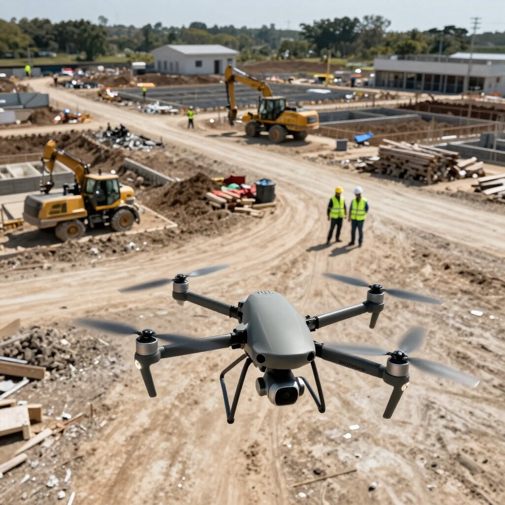
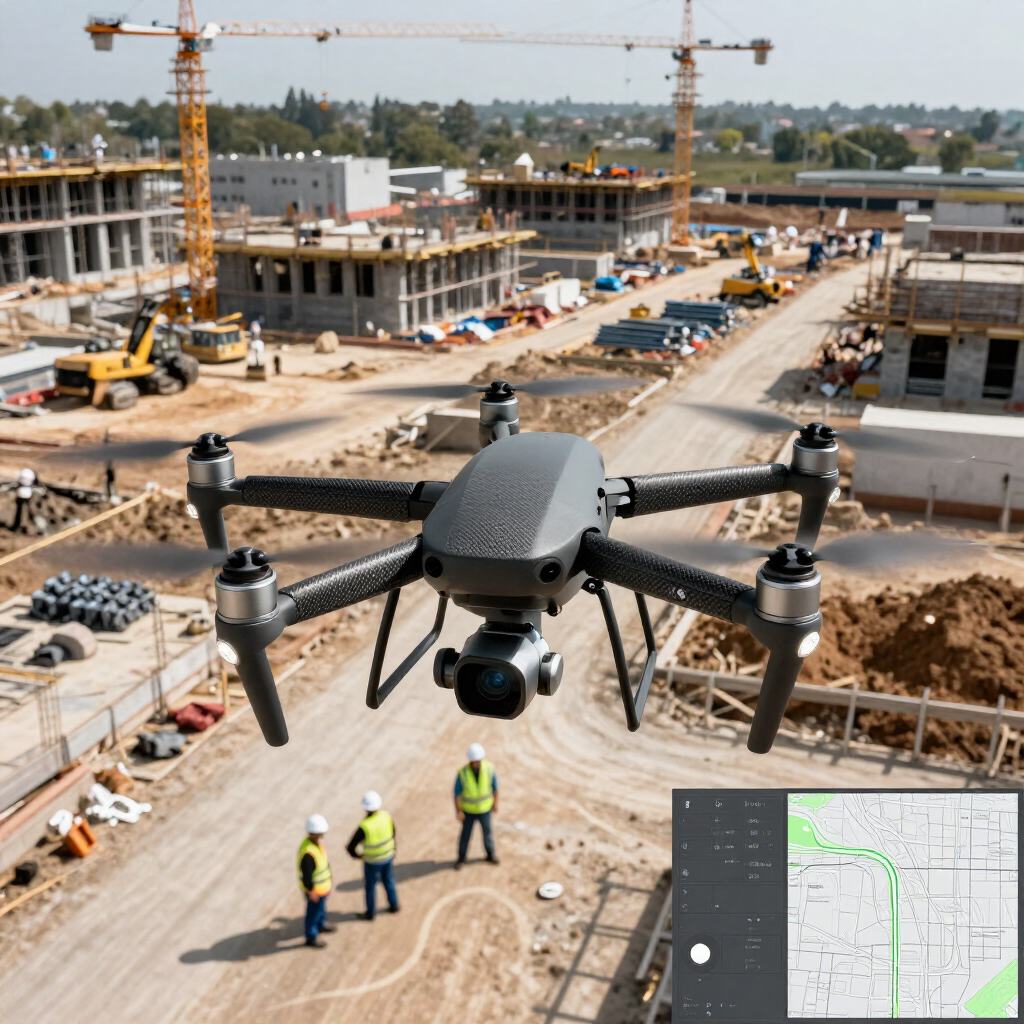
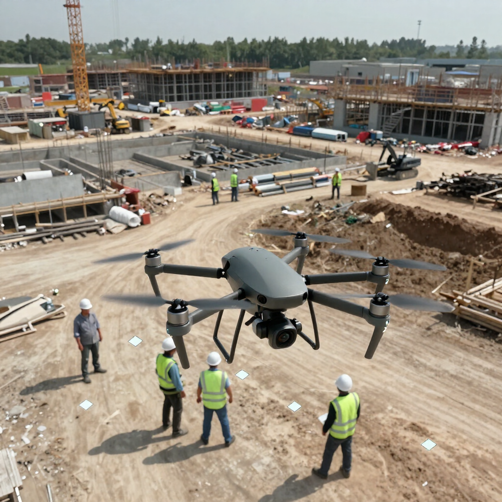
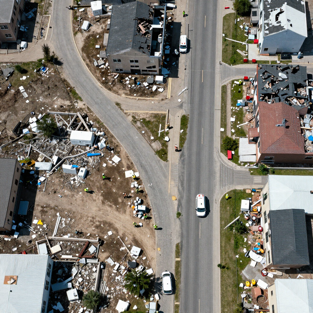
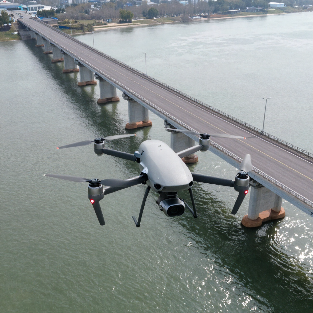
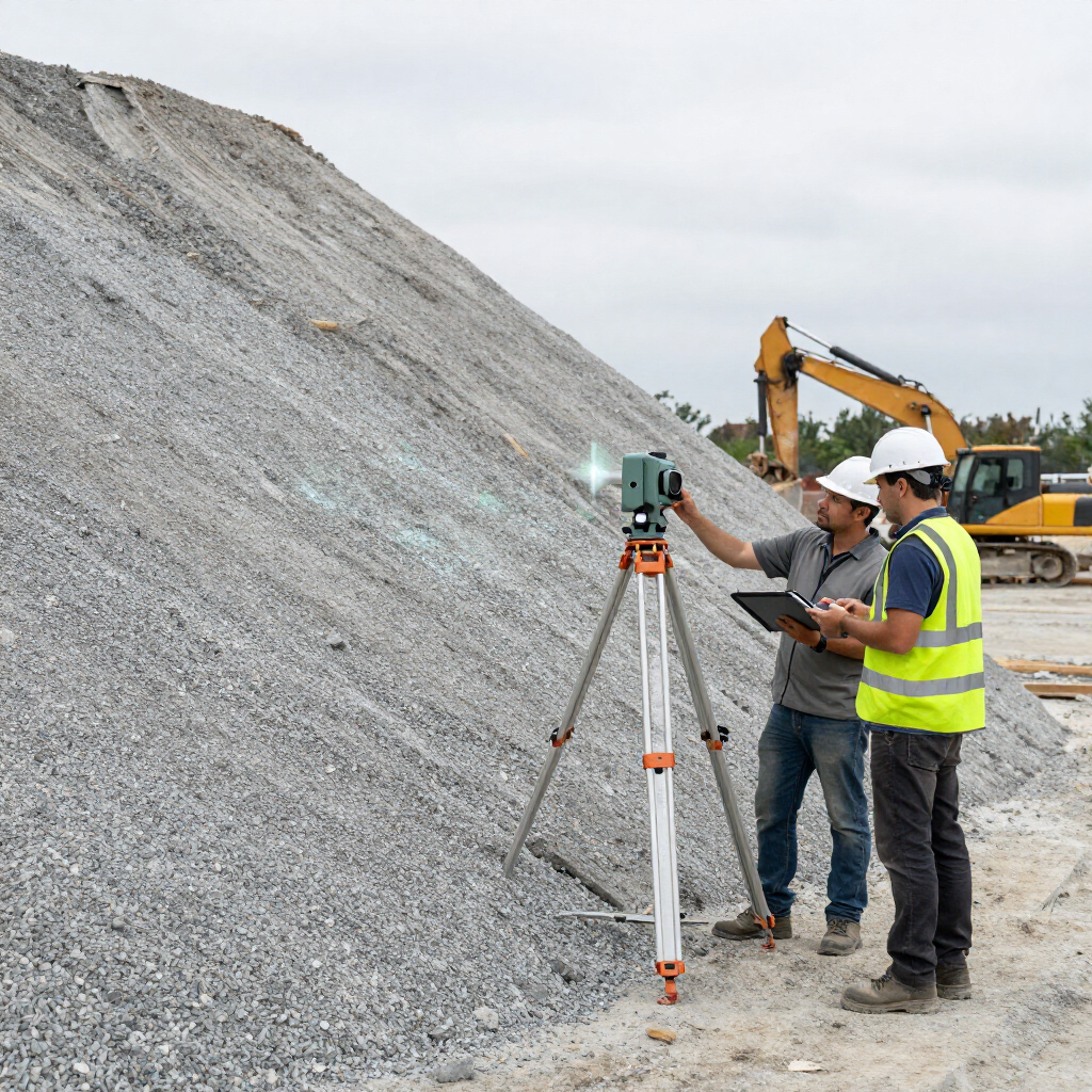
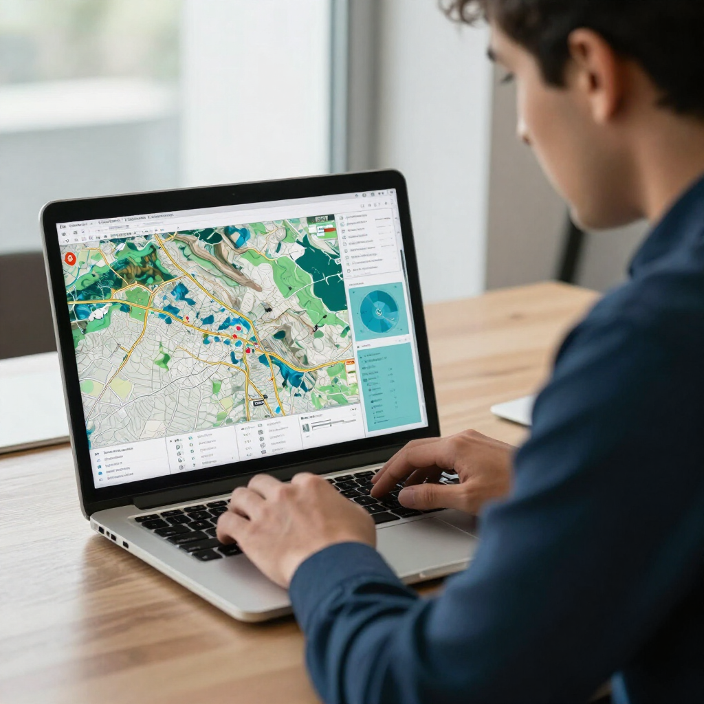
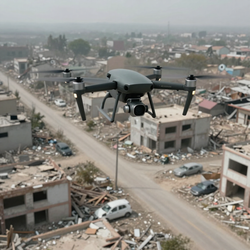
At TotalPoint Data Solutions, we specialize in transforming complex data into actionable insights through advanced geospatial mapping and drone services. Our expertise spans aerial mapping, 360-degree site documentation, and disaster management consulting, ensuring that government agencies, municipalities, and construction firms receive precise, reliable information tailored to their needs. With a commitment to quality and efficiency, we leverage cutting-edge technology to support disaster recovery efforts and enhance project outcomes. Discover how our precision-driven solutions can elevate your operations and decision-making processes.
TotalPoint Data Solutions LLC is a Florida-based leader in geospatial technology and consulting. We specialize in aerial mapping, 360-degree site documentation, and disaster management consulting. Our services include professional drone mapping, high-resolution aerial imagery, and comprehensive site documentation tailored for government agencies, municipalities, engineering firms, and construction companies. With a focus on precision and reliability, we utilize advanced drone technology and geospatial mapping software to transform complex data into actionable insights. Our mission is to enhance efficiency and accountability in every project, ensuring our clients can make informed decisions based on accurate information.
At TotalPoint Data Solutions, our team is the backbone of our success. Comprising experts in geospatial technology, drone operations, and disaster management, we are dedicated to delivering precision-driven solutions tailored to your needs. Each member brings unique skills and experiences, ensuring that we provide the highest quality service to our clients.